


GIS leads Lead Service Line Project
May 17, 2023
Working to map the lead water service lines in Rock Island, Augustana College is collaborating with the city to work on the Lead Service Line Project.
Announced last July by President Andrea Talentino, this project aims to help replace all of the Lead Service Lines (LSLs) along with creating strategies to fund the project which Augustana College will work on later next year.
LSLs were put in by the city of Rock Island when the city was originally built. On Jan. 1 of last year, the Lead Service Line Replacement Notification Act required that any lead materials be put in inventory, switch all lines to copper instead of lead and implement financing strategies to fund the switch from lead to copper pipes.
Now that the Environmental Protection Agency (EPA) has also put in new regulations to switch the lead to copper pipes, the city of Rock Island has begun to address this issue.
Dr. Michael Reisner, environmental studies professor and director of the Upper Mississippi Center, said the LSLs need to be replaced due to safety concerns.
“A law passed last year in the state of Illinois that requires inventory, financing and replacement of all remaining lead service lines for drinking water, which is a big problem nationwide. Illinois is one of the 5 states with the most lead service lines remaining,” Reisner said.
According to Reisner, both Augustana College and the city of Rock Island believed a partnership was needed to complete this project.
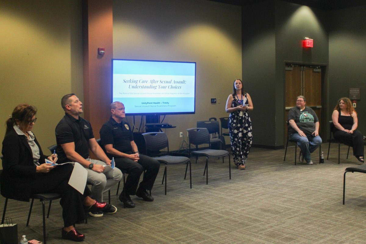
“Rock Island needed help with expertise and resources so we partnered with them along with Dr. Murphy, the [director of] advancement of community health and wellness, as it’s an environmental justice/health intersection,” Reisner said.
This April, a comprehensive inventory was completed for the lead service lines. There are about 15,000 lead service lines in Rock Island.
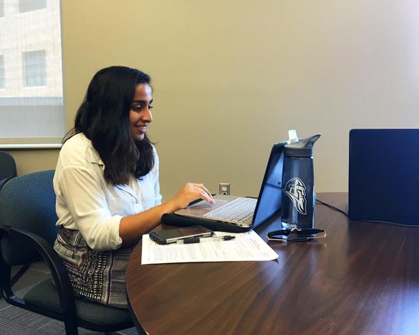
According to senior Peyton Heisch, a student researcher on the project, 4,000 pipelines have been inventoried out of the 15,000 in Rock Island. This was done by going through city paperwork of previous pipeline replacements.
“We spent time with the water department inspector reports going back to the turn of the century, sitting in the filing cabinets, digitizing them based on what the current pipe was and what it was replaced with to help eliminate the unknown,” Reisner said.
The Geographic Information System (GIS) computer program is aiding the beginning stages of this project by getting the inventory of any lead service lines in the area of Rock Island.
The software is able to show which pipes are made out of lead, helping to show who needs their pipes replaced.
“We then had one team go through the data and put it into a spreadsheet, then the GIS team worked on putting the data into GIS to create an interactive map,” Heisch said.
Rock Island GIS specialist Megan Baker is working on the project. A community engagement team at Augustana is helping the project by creating a digitalized survey so the local people of Rock Island can put information in the database.
“The data they are collecting to further the project along is location data, which is points that are connected to the parcels within the city and putting the information we know about them,” Baker said. “We are also putting in the information that we get from testing the lead lines to see where they are geographically by putting them into a GIS system.”
Baker says that before the city can begin to remove the lead pipes, they need to know who is being impacted.
“GIS is important for the project because although the city of Rock Island has a database for the city owned infrastructure the information in the database is incomplete,” Baker said.
After the city completes digitizing and mapping the records, the project will focus on getting the information out there and marketing the survey.
Homeowners will be able to verify what kind of pipes they have through
the GIS software which will help decrease the amount of unknown information the city has. This also makes it easier for the city to collect the data without disrupting the environment by digging the pipes, which would also be expensive.
Getting the location data can help pinpoint large areas where the city needs to change the pipes. In January, all of the information was imported into the GIS system to help figure how many unknowns are left. Then GIS will be used to create a predictive model of the lead pipe patterns in neighborhoods.
“The next steps are to educate the public without scaring them too much, which is a fine line. We need to get the information out to the public in a format for them to engage with the project more,” Reisner said.
The homeowners will be able to do it in a non-disruptive way to the environment, right in their homes to help the city. Involving the public and community groups will also help with financing the project.
“An important part about seeking funds is to do it equitably for the community. Which is why it is so important for people to do this [the survey] so that when their pipes need to be changed for their health the community knows what needs changed, it will help everything for the future,” Heisch said.